
In 2023, more than half of connected hikers report changing their GPS app at least once a year. Some platforms limit offline access to accurate maps, while others require subscriptions for simply exporting routes.
No app meets all needs, even among the most popular on the market. The criteria for choice vary greatly depending on experience, practice, and frequency of outings. Trade-offs are inevitable, regardless of the level of demand.
You may also like : Traveling to the Caribbean: What You Need to Know to Get Organized
Hiking and GPS: What to Really Look for Before Choosing Your App
The days when a GPS app was limited to displaying a map are over. Today, choosing the right solution involves closely examining the quality of the mapping. Some apps rely on OpenStreetMap or IGN backgrounds, while others incorporate detailed topographic maps or even contour lines, which are invaluable for venturing onto rugged terrain.
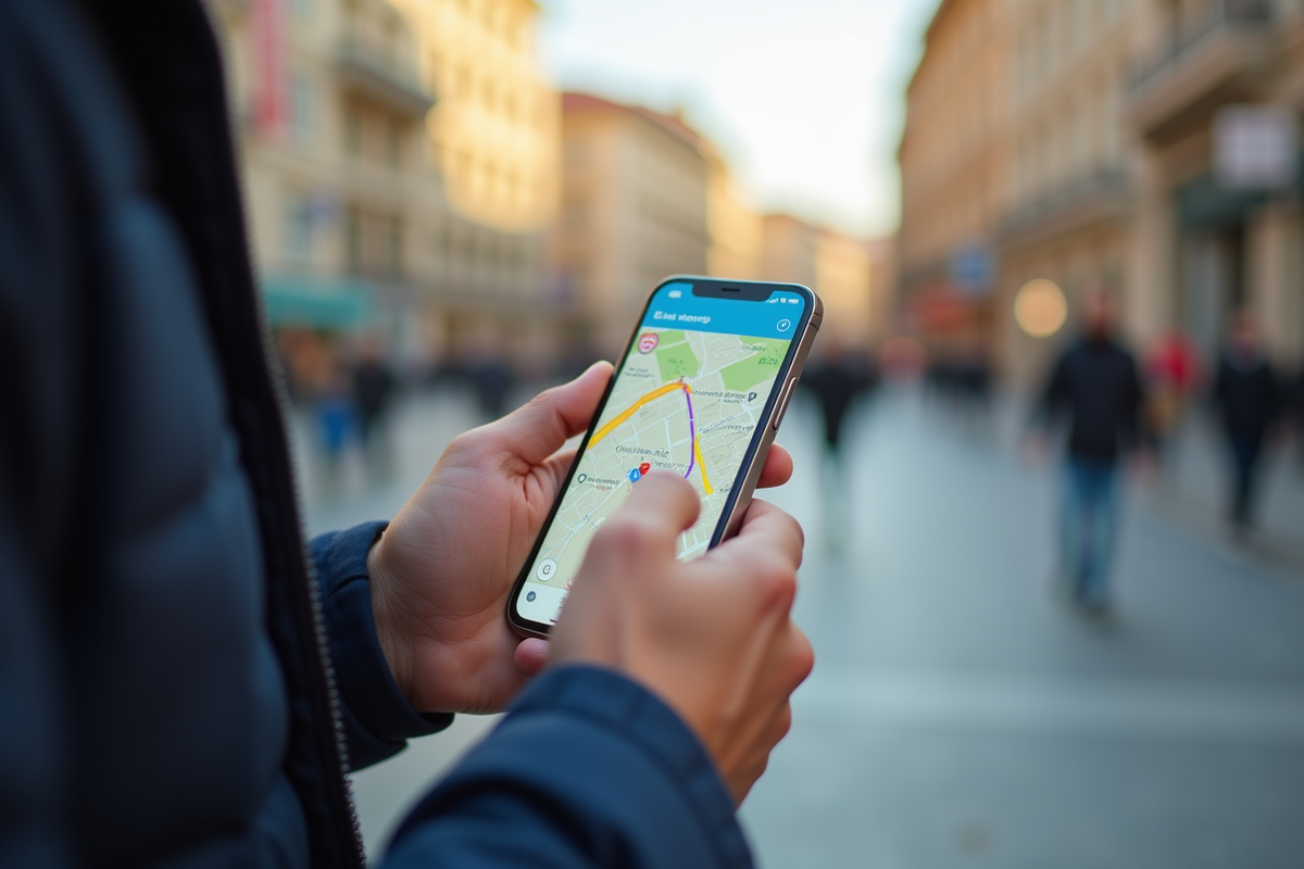
The offline function clearly makes a difference as soon as the signal disappears. Without access to downloaded maps, even the most beautiful route can become a puzzle. It is therefore better to ensure that the app allows for viewing routes and maps without a network.
Read also : What type of fuel to choose for your Peugeot 108: guide and tips
Another point not to overlook is the management of GPX tracks. Being able to create, import, export, or modify a track directly from your smartphone offers real freedom, especially for preparing custom outings or adapting your route on the go. This is often what separates the casual user from the seasoned hiker.
The user interface also matters. An app filled with confusing menus, slow, or difficult to read can ruin an outing, even if it offers the best mapping. Navigation must remain smooth and intuitive, especially when quick orientation is needed.
On the features side, certain options can transform the experience: voice guidance, alerts, location sharing, post-outing statistics… Often, the free version is limited to basic navigation, while the subscription, whether one-time or through a premium model, provides access to offline maps, advanced editing, or synchronization across multiple devices.
Have you checked the compatibility? Between Android, iOS, Apple Watch, or even web versions for preparing routes on a computer, not all apps offer the same flexibility. For those who prefer the road to hiking, the Michelin route remains a reliable option for planning or adjusting your journey according to unforeseen events.
Finally, safety deserves a real look: real-time location sharing, personalized alerts, all tools to set off with peace of mind, whether alone or in a group.
Comparison of the Best GPS Apps for Hiking Without Mistakes
Faced with the multitude of GPS apps for hiking on smartphones, each publisher claims a clear orientation to meet specific needs. Fans of topographic maps, whether from IGN or OSM backgrounds, prefer apps that offer a detailed reading of the terrain, layers of contour lines, and points of interest scattered with precision.
To help you sort through, here are the features that make a difference from one app to another:
- Offline navigation remains crucial. Being able to download your maps in advance ensures you never lose your way, even in a dead zone.
- Voice guidance, navigation alerts, and location sharing enhance safety, especially over long distances or in isolated areas.
- Ergonomics and the interface, clear and responsive, ensure a frictionless experience, whether on Android, iOS, or Apple Watch.
Community navigation is gaining momentum: every hiker can benefit from shared routes, enriched by the reviews and suggestions of other users. The integrated statistics, distance, elevation gain, average speed, appeal to those who like to analyze their performance or share their progress.
The premium subscription opens access to a wider range: maps from around the world, cloud synchronization, creation of multi-activity routes (trail, cycling, mountaineering), and many other tools to go further.
For preparing a car trip, the Michelin route holds a prime spot. But for hiking, specialized apps continue to focus on the accuracy and richness of their mapping. It’s up to each person to chart their path and choose the tool that will inspire them to venture even further.